地球资源数据云——数据资源详情
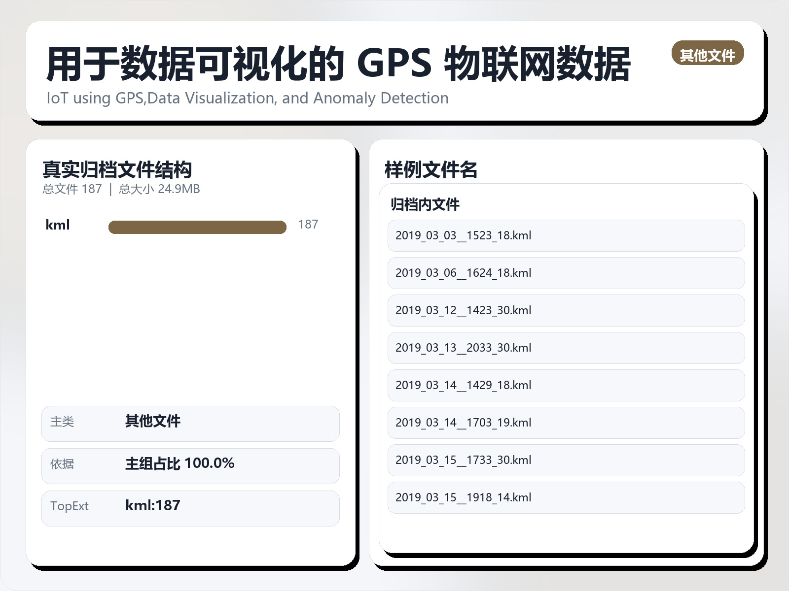
用于数据可视化的 GPS 物联网数据
该数据集《GPS IoT data for Data Visualization》主要用于监督学习任务,数据形态以表格为主。 题目说明:IoT using GPS,Data Visualization, and Anomaly Detection 任务类型:表格监督学习。 建议流程:先做缺失值/异常值处理与特征编码,再比较逻辑回归、随机森林、XGBoost。 评估建议:使用分层切分或交叉验证,优先关注 F1、Recall、AUC 等分类指标。 可用文件:未检测到标准 CSV,可优先查看目录中的索引或说明文件。 For conversion of GPS to KML we used the GPS datatypes such asGPGGAwhich is described as Global Positioning System Fix Data andGPRMCwhichis described as Recommended minimum specific GPS/Transit data. To begin with, we first created two data frames with the given GPS data, by filtering out GPGGA and GPRMC types. As per our observation, we could see that GPGGAtype gave us information like Longitude, Latitude, Altitude, and Fix Quality (ifits 0 0 then it is invalid). On the other hand, GPRMC type fetched information like T Time, Speed in knots and Navigation receiver warning. Out of the other information from GPRMC datatype, we were only interested in speed and re - ceive warning. So we copied those columns and combined these columns into pandas data frame created for type GPGGA. Moving to the next part which is conversion of data. We converted the Latitude and Longitude of$GPGGA us - ing formula DDMMSSSS eg, 4533.35 is 45 degrees and 33.35 minutes. ”.35” of a minute is exactly 21 seconds. We checked for the direction and assigned proper sign as per the directon (W is - ve and E is +ve). We then converted all the numeric columns in dataframe for further calculation. Finally created a tuple with latitude, longitude and speed. This list of tuples was added as coordinates. One of the major challenge was to understand the GPS data.
摘要概览
该数据集《GPS IoT data for Data Visualization》主要用于监督学习任务,数据形态以表格为主。 题目说明:IoT using GPS,Data Visualization, and Anomaly Detection
任务类型:表格监督学习。
建议流程:先做缺失值/异常值处理与特征编码,再比较逻辑回归、随机森林、XGBoost。
评估建议:使用分层切分或交叉验证,优先关注 F1、Recall、AUC 等分类指标。
可用文件:未检测到标准 CSV,可优先查看目录中的索引或说明文件。
For conversion of GPS to KML we used the GPS datatypes such asGPGGAwhich is described as Global Positioning System Fix Data andGPRMCwhichis described as Recommended minimum specific GPS/Transit data. To begin with, we first created two data frames with the given GPS data, by filtering out GPGGA and GPRMC types.
As per our observation, we could see that GPGGAtype gave us information like Longitude, Latitude, Altitude, and Fix Quality (ifits 0 0 then it is invalid). On the other hand, GPRMC type fetched information like T Time, Speed in knots and Navigation receiver warning.
Out of the other information from GPRMC datatype, we were only interested in speed and re - ceive warning. So we copied those columns and combined these columns into pandas data frame created for type GPGGA. Moving to the next part which is conversion of data.
We converted the Latitude and Longitude of$GPGGA us - ing formula DDMMSSSS eg, 4533.35 is 45 degrees and 33.35 minutes. ”.35” of a minute is exactly 21 seconds. We checked for the direction and assigned proper sign as per the directon (W is - ve and E is +ve). We then converted all the numeric columns in dataframe for further calculation.
Finally created a tuple with latitude, longitude and speed. This list of tuples was added as coordinates. One of the major challenge was to understand the GPS data.
常见问题
用于数据可视化的 GPS 物联网数据是什么?
该数据集《GPS IoT data for Data Visualization》主要用于监督学习任务,数据形态以表格为主。
用于数据可视化的 GPS 物联网数据是什么数据格式?坐标系是什么?
数据格式为 CSV。
用于数据可视化的 GPS 物联网数据覆盖什么区域?
该数据集覆盖范围为全球。
如何获取并引用用于数据可视化的 GPS 物联网数据?
在本页登录后即可下载。建议引用格式:地球资源数据云. 用于数据可视化的 GPS 物联网数据. https://www.gis5g.com/dataset/2033811189182926850