地球资源数据云——数据资源详情
国家坐标 GeoJson
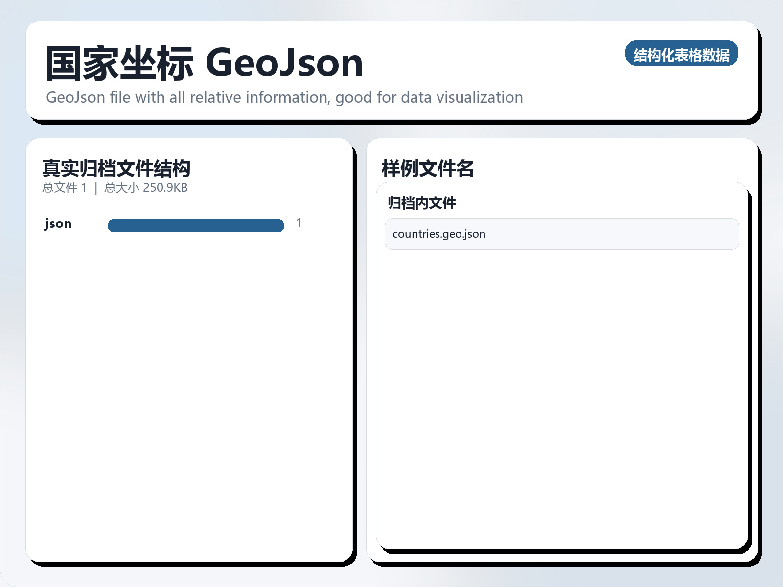
该数据集《Country Coordinates GeoJson》主要用于监督学习任务,数据形态以表格为主。 题目说明:GeoJson file with all relative information, good for data visualization 任务类型:表格监督学习。 建议流程:先做缺失值/异常值处理与特征编码,再比较逻辑回归、随机森林、XGBoost。 评估建议:使用分层切分或交叉验证,优先关注 F1、Recall、AUC 等分类指标。 可用文件:未检测到标准 CSV,可优先查看目录中的索引或说明文件。 This is the dataset I've added on Kaggle. This may look strange, but I looked everywhere to find a decent GeoJson file. It contains an iso - country code, its name, and coordinates to use them in any graphical package in Python or other languages (folium, plotly, and others). Huge thanks to https://github.com/johan who eventually made this file, which I found on his github. NB - This is not my work, this dataset is here to make easier the life of each other. Happy Kaggling!
摘要概览
该数据集《Country Coordinates GeoJson》主要用于监督学习任务,数据形态以表格为主。 题目说明:GeoJson file with all relative information, good for data visualization
任务类型:表格监督学习。
建议流程:先做缺失值/异常值处理与特征编码,再比较逻辑回归、随机森林、XGBoost。
评估建议:使用分层切分或交叉验证,优先关注 F1、Recall、AUC 等分类指标。
可用文件:未检测到标准 CSV,可优先查看目录中的索引或说明文件。
This is the dataset I've added on Kaggle. This may look strange, but I looked everywhere to find a decent GeoJson file. It contains an iso - country code, its name, and coordinates to use them in any graphical package in Python or other languages (folium, plotly, and others).
Huge thanks to https://github.com/johan who eventually made this file, which I found on his github.
NB - This is not my work, this dataset is here to make easier the life of each other. Happy Kaggling!
常见问题
国家坐标 GeoJson是什么?
该数据集《Country Coordinates GeoJson》主要用于监督学习任务,数据形态以表格为主。
国家坐标 GeoJson是什么数据格式?坐标系是什么?
数据格式为 CSV。
如何获取并引用国家坐标 GeoJson?
在本页登录后即可下载。建议引用格式:地球资源数据云. 国家坐标 GeoJson. https://www.gis5g.com/dataset/2031264088674701314